
Three weeks in New Zealand - 4/12 - 5/4/2024
| North Island | South Island |
Day 2-A day in Auckland-4/13/2024
Maungawhau/Mount Eden Path
Maungawhau means ‘mountain of the whau tree’ and was
one of the largest and most elaborate Māori pā (fortified settlement) in the
region. The English named it for George Eden, the first Earl of
Auckland. Today’s signage contains both names: Maungawhau /Mount Eden volcano.
Mount Eden is one of Auckland’s most visited mountain with over one million visitors each year.
At 645 feet above sea level, Mount Eden summit is the highest natural point in
Auckland, yet somehow the walk to the top is pretty easy. Best of all, not
only do we enjoy an impressive 360º view of the city, but we can also look
into the now grass-covered 160-foot deep crater.
Vehicles are now restricted on the main loop road, honoring the sacredness of the tihi (summit) and making it safer for pedestrians

From Downtown we got a taxi up to the main entrance of the park. You can definitely walk up but it is a pretty steep uphill so we wanted to safe our energy and be able to walk inside the park.

Starting our hike to the summit.
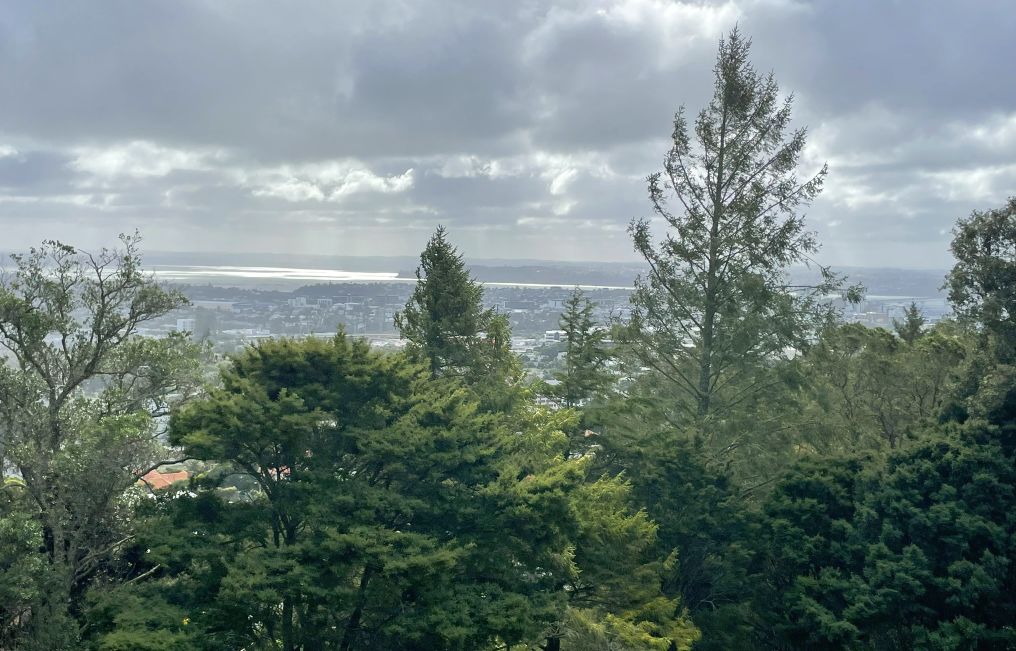
View of the city as we are going up


The sign said that Maungawhai is a wahi tapu, a sacred place of great historic and significance to Nga Man Whenuo o Tamaki Makaurau (Maori Tribes of Auckland). From around 1,200 AD Maungawhau was one of the largest Pa (fortified settlements) in the region and for centuries it was home to thousand of people. Here you will see Pa tuappa (terraces for housing and gardens and rua (pits for food storage).

Amazing view of the city and we are not even a the top of the mountain yet.

Viewing platform with 360 degree of the city and the Waitematā Harbor.

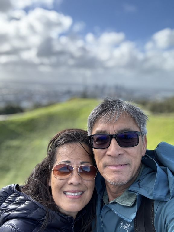
Up here, there are no noises, only the sound of the wind, and I am enjoying my short time here watching into the horizon.

View of the city from the viewing platform

Resting area with great views.

Trail going up to the summit

Panoramic view of the city and the harbor.

You can see the Sky tower on the left.

Volcano crater covered in grass.

This extinct volcano last erupted over 28,000 years
ago, long before human inhabitants.

Trees on top of the hill

The crater is 160 ft. deep cone with the city skyline out in the distance.

The peaks have been used by the New Zealand Post
Office for VHF radio communications since the 1950s. Due to the very high
elevations of the peak, they have several advantages for transmitting high
frequencies.

Walkway to the summit of the mountain.
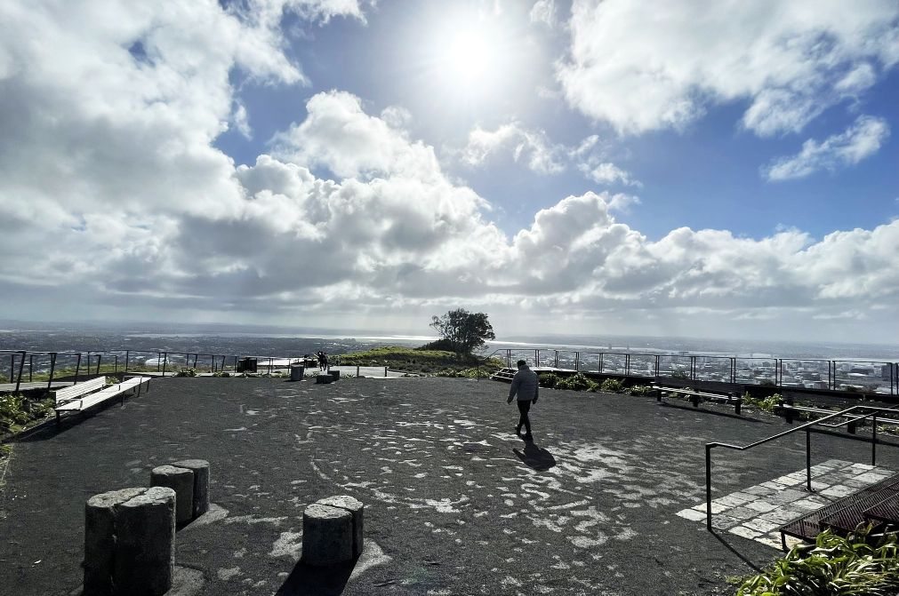
Viewing platform at the summit of the mountain.

From here you have a great view of the city and also the volcano crater.

Closer view of the volcano crate and the city in the distance.
 |
 |
The summit of the mountain

We are now going down by following the pathway.

It is simply gorgeous up here and it is also so relaxing, especially when there are nobody around.

Walkway in the middle of the mountain.

More view of the volcano crater.

Walkway with magnificent view of the city and the harbor.


This walkwayis set in the middle of nature and it was so pleasant to enjoy the surroundings.

More walkways in the park.

View of the Sky tower while inside the park.

We are now almost at the bottom of the mountain, lot of houses around in the neighborhood.

Walkway to the exit of the park.

We are now leaving the park.

Auckland Domain is a large park consisting of 75 hectares of land and is the oldest park in the city.

We are headed to Auckland War Memorial Museum.

Auckland War Memorial Museum is a neoclassical buildingthat has occupied this site since 1929 and stands on a Hill which is the remains of a dormant volcano in the Auckland Domain.
There are two entrances to the museum, this one on the north side and the other on the south side (see below).

On the right is the south is the newer and nowadays the flashier of the two. It has only relatively recently been refurbished and redesigned.

The entrance of the Museum. The museum collections
concentrate on New Zealand history, natural history, and military history.

As you walk in a large wide and impressive open space
welcomes you with works of art and digital displays vie for your attention.
The vast space is dominated by a timber bowl shaped space that seems to hang
from the roof. It is almost a building within a building. The ‘bowl’ houses
the learning lab and the auditorium whilst its uppermost floor forms the event
center.
 |
 |
Since we could get in to see all the exhibits we settle on getting a nice cup of cappuccino and some pastries.
NEXT... Dinner at Ada